Remote Sensing in Action: Making Data-Driven Reforestation Decisions
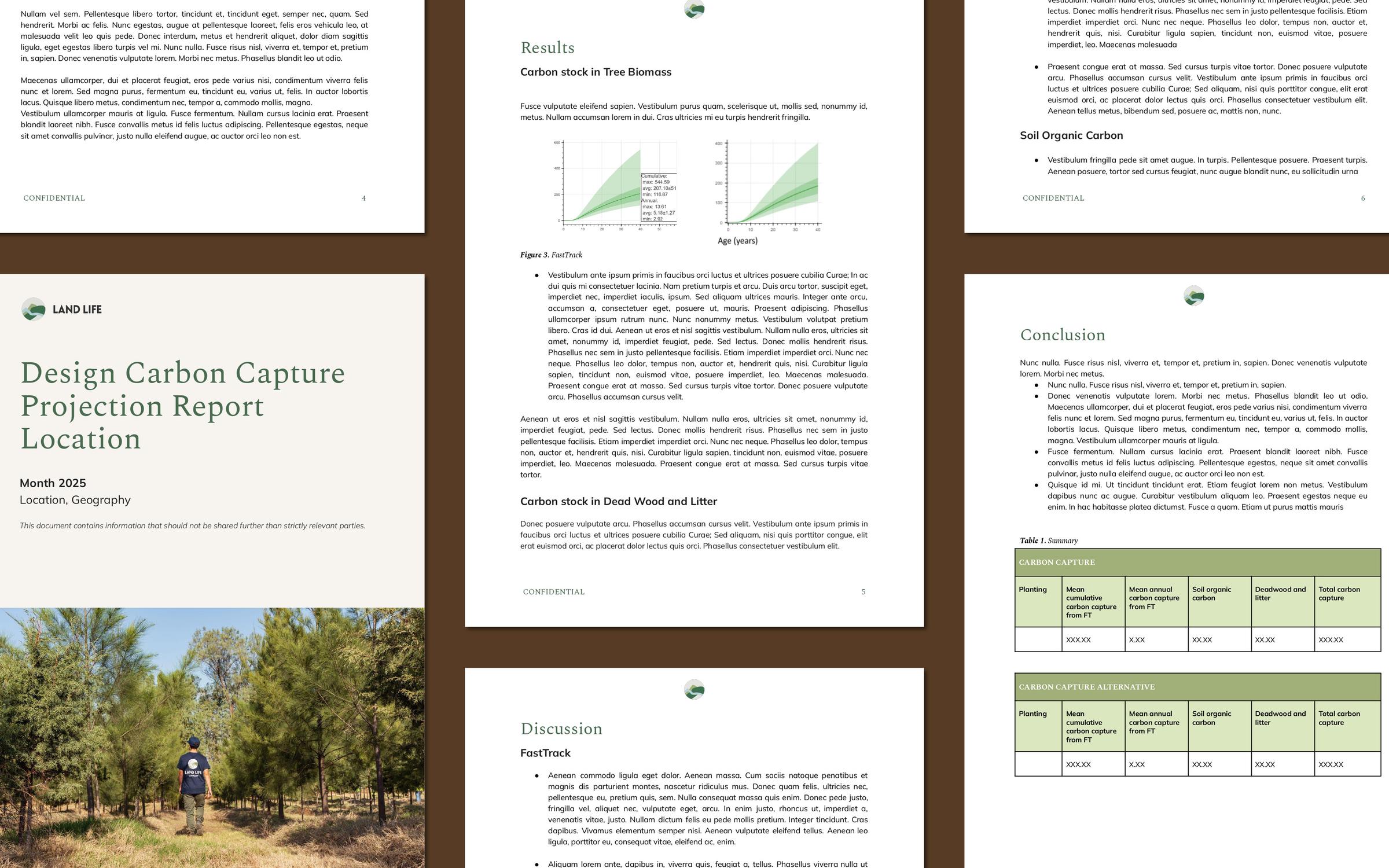
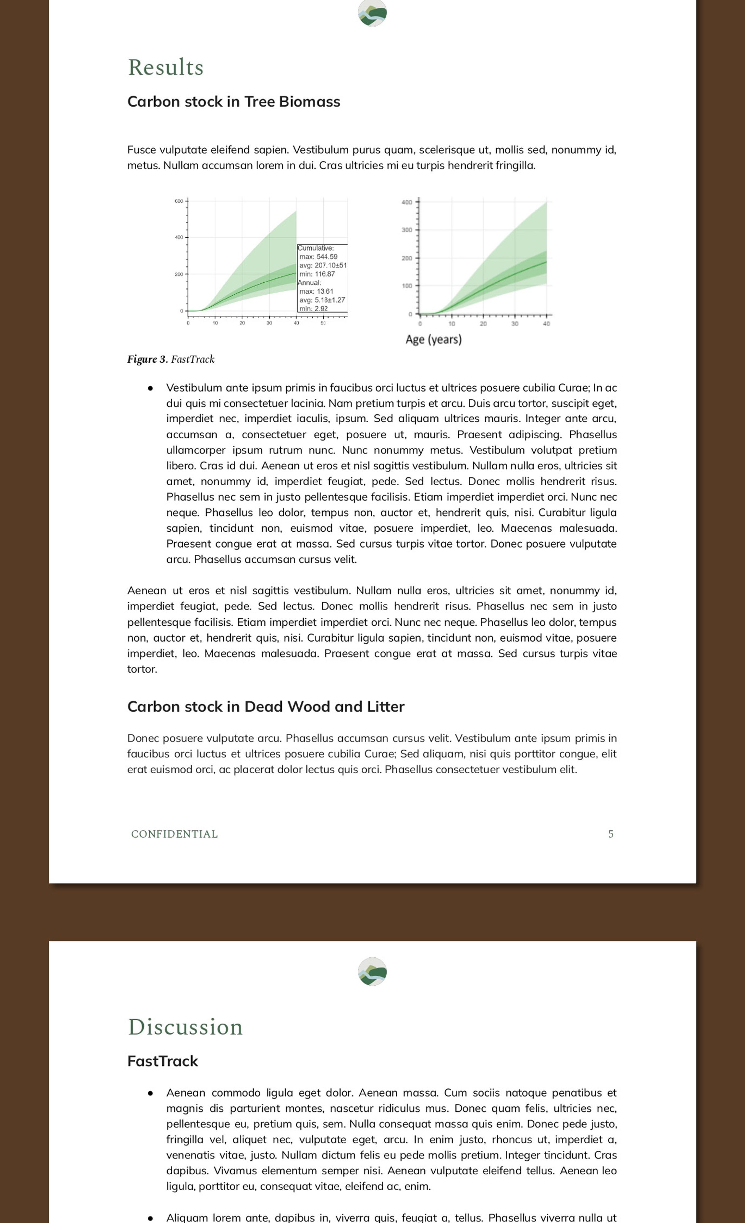
Reduce uncertainty in reforestation. Land Life’s remote sensing tools identify viable sites, predict carbon outcomes and flag risks early – ensuring projects succeed before planting begins.
Remote Sensing in Action: Making Data-Driven Reforestation Decisions
Before the first seed is planted, countless choices determine whether a project will thrive: Which species will work best? Where exactly should we plant? How do we minimise risk? And most importantly, is the land itself viable for reforestation in the first place?
In the past, these answers relied heavily on physical scouting and expert intuition. Field checks remain essential, but advances in technology have transformed what’s possible. Today, we can assess sites, predict carbon capture, and monitor forest growth with a level of accuracy, objectivity, and speed that manual methods can’t match.
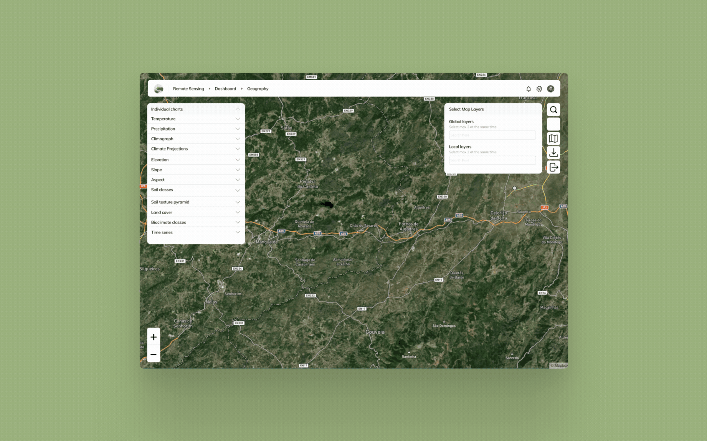
Built by an in-house team of experts over several years, Land Life’s Remote Sensing Dashboard is a key part of our technology and innovation-driven platform, underpinning high-integrity restoration. Working in conjunction with our advanced carbon modelling system, FastTrack, these custom remote sensing tools enable faster, smarter decisions, determining whether land is truly viable for planting and saving significant time and resources before any fieldwork begins.
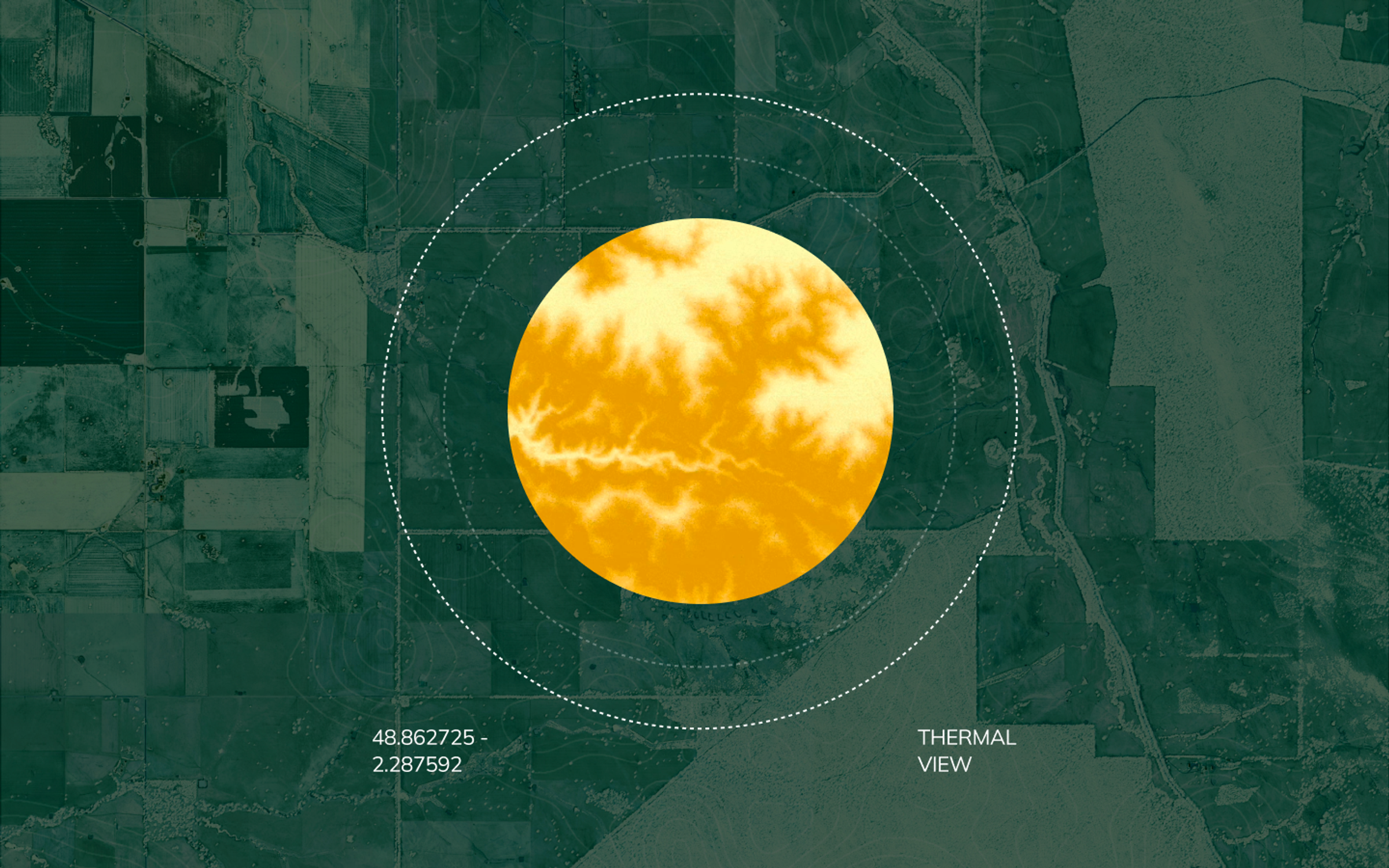
What is remote sensing, and why does it matter?
From guesswork to precision: How Land Life uses remote sensing
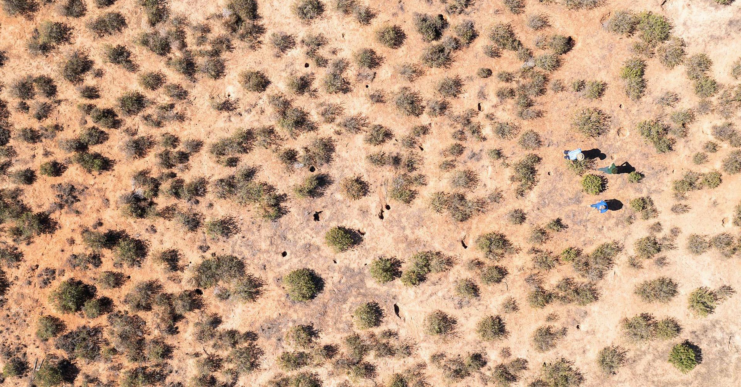
When a landowner offers access to land for our carbon removal reforestation projects, our first question is: Can we successfully plant here?
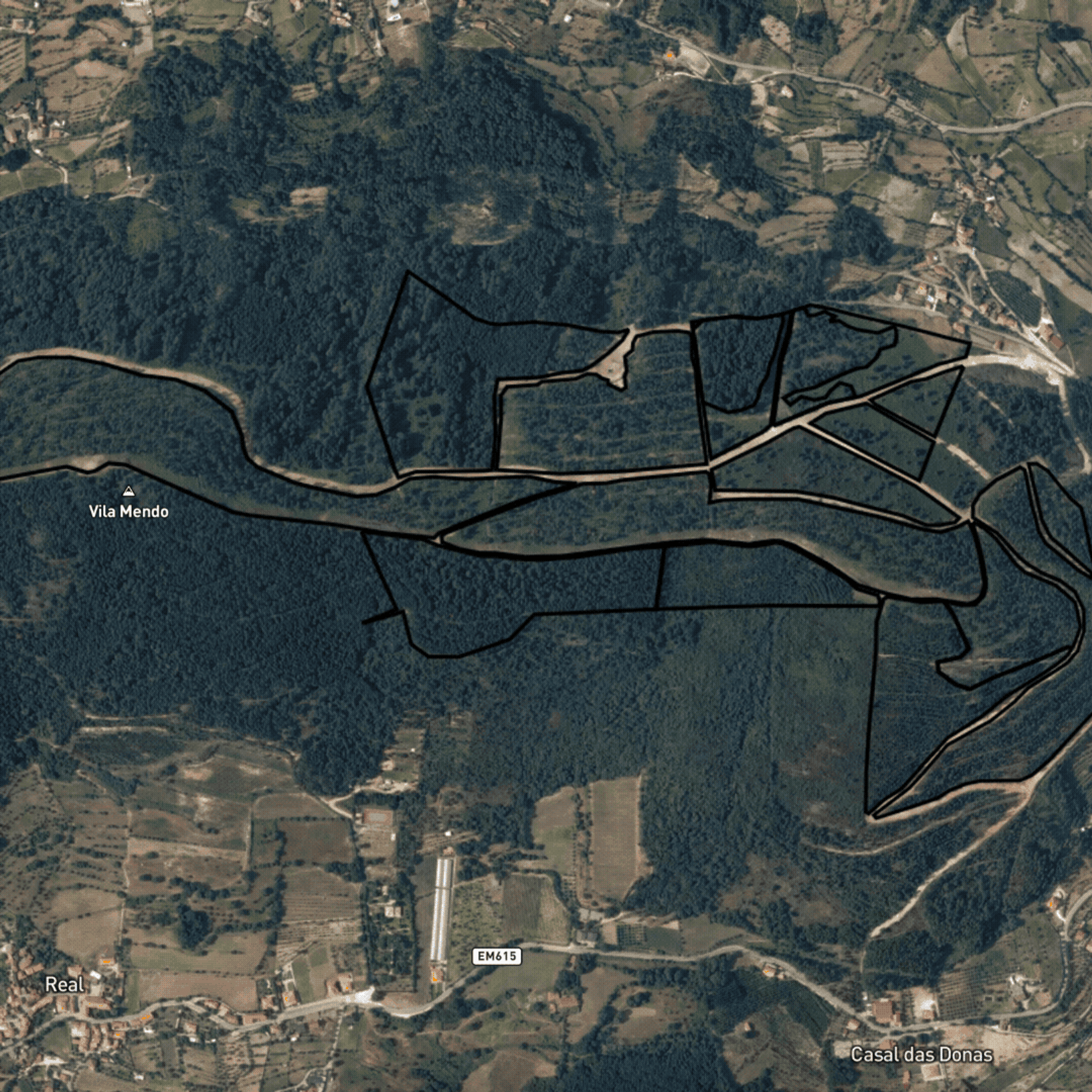
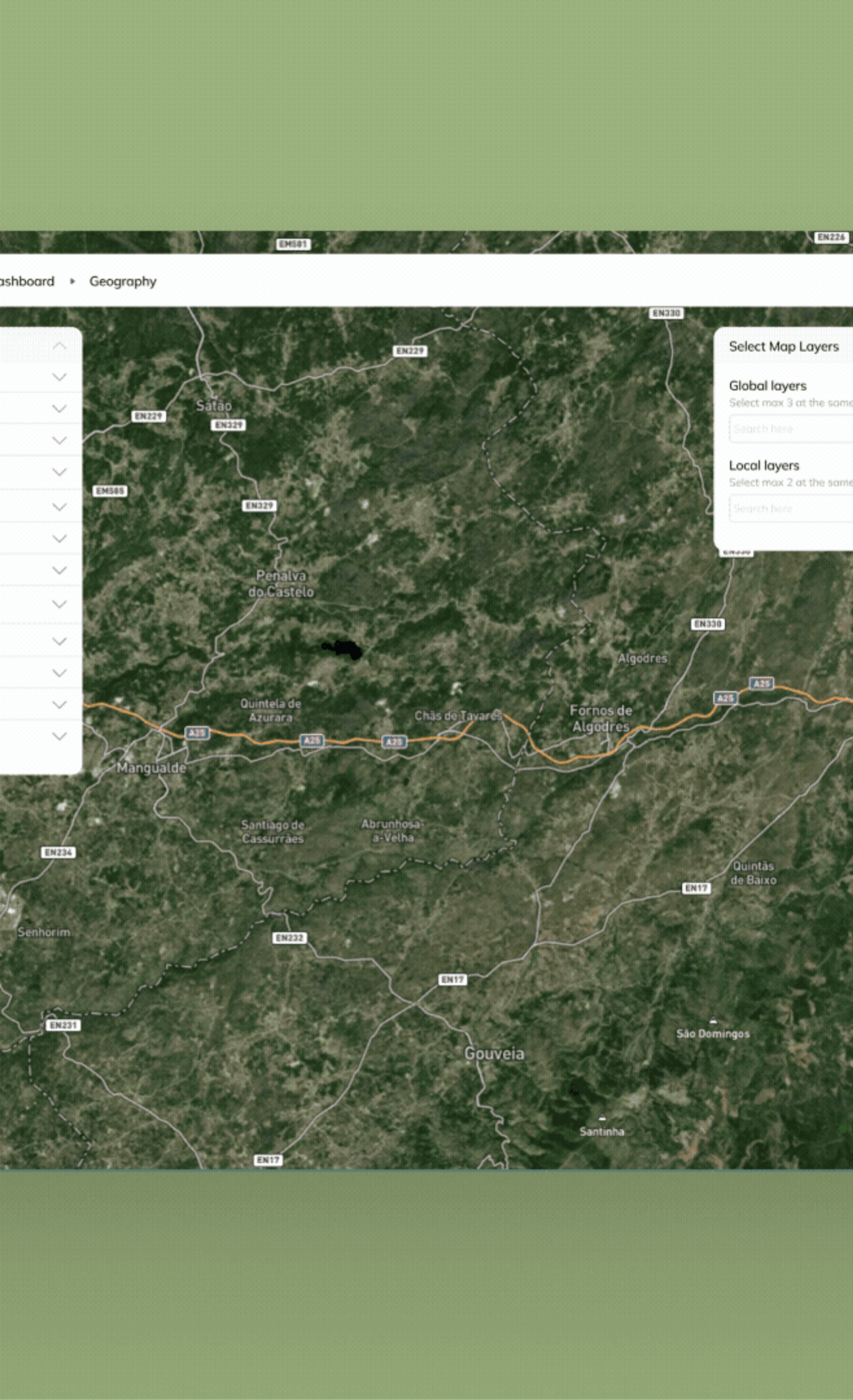
Traditionally, this required multiple site visits and weeks of analysis. Today, our remote sensing dashboard answers this in minutes by pulling in layers of data on slope, elevation, climate, fire history, soil properties and land cover. In the background, the system analyzes multiple data layers to generate outputs – for example, identifying areas suitable or unsuitable for planting.
By simply uploading the project boundaries to the dashboard, useful decision-making information is generated within moments, enabling us to assess a range of factors including:
One of the many significant capabilities we’ve developed is plantable area calculation. The system analyses the entire site, applies slope thresholds and land cover filters, and returns an exact percentage of plantable land. It also generates a map that visualises the location of plantable and non-plantable areas, along with an assessment of why some areas have been excluded for planting, such as steep slopes or existing vegetation.
Remote sensing highlights risks and potential planting areas, while our proprietary Carbon Modelling App, which is powered by our FastTrack model, predicts site-specific tree growth and long-term carbon sequestration. This combination ensures that each project is scientifically grounded, economically viable and planned for long-term success, minimising risks.
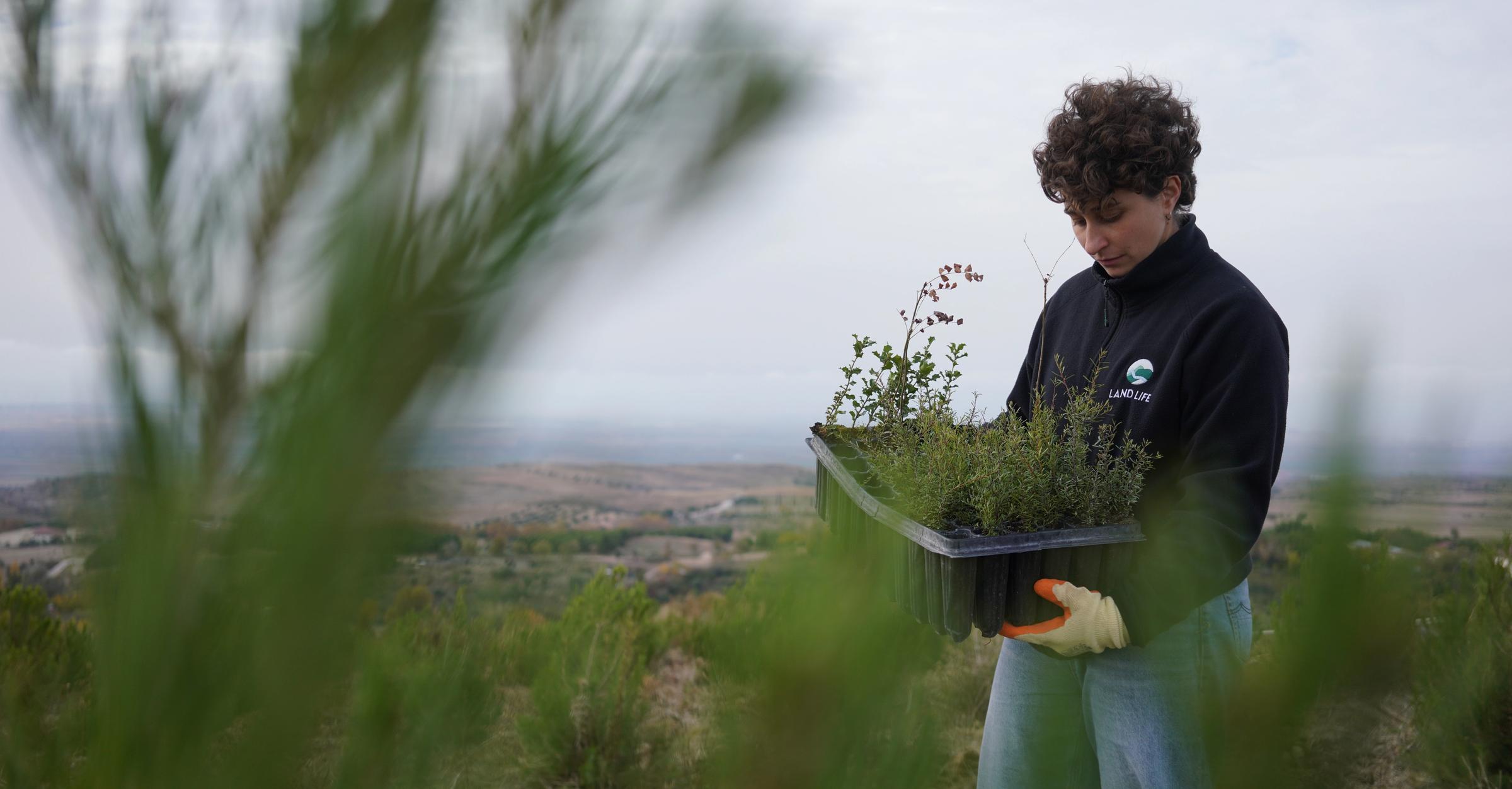
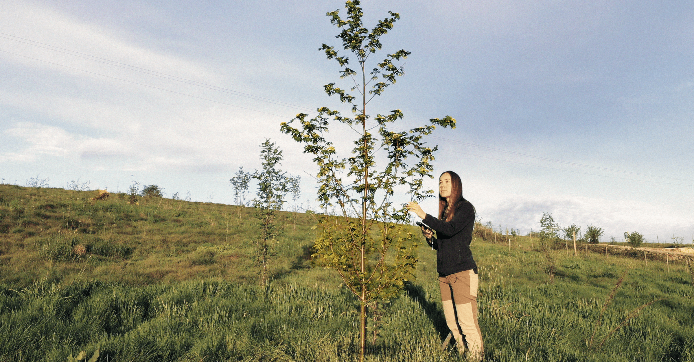
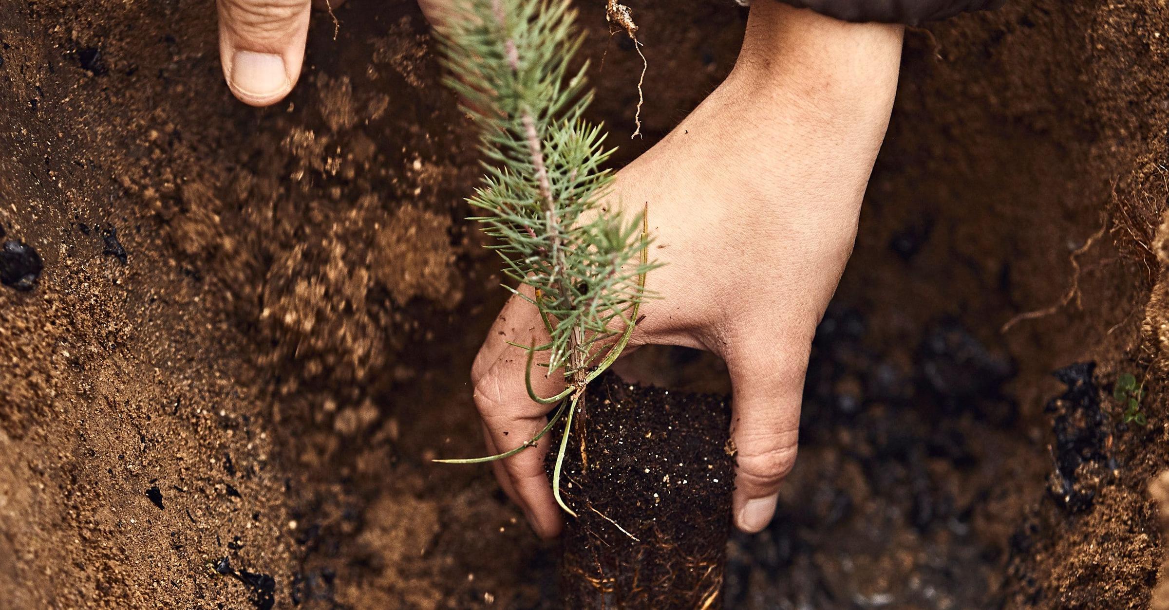
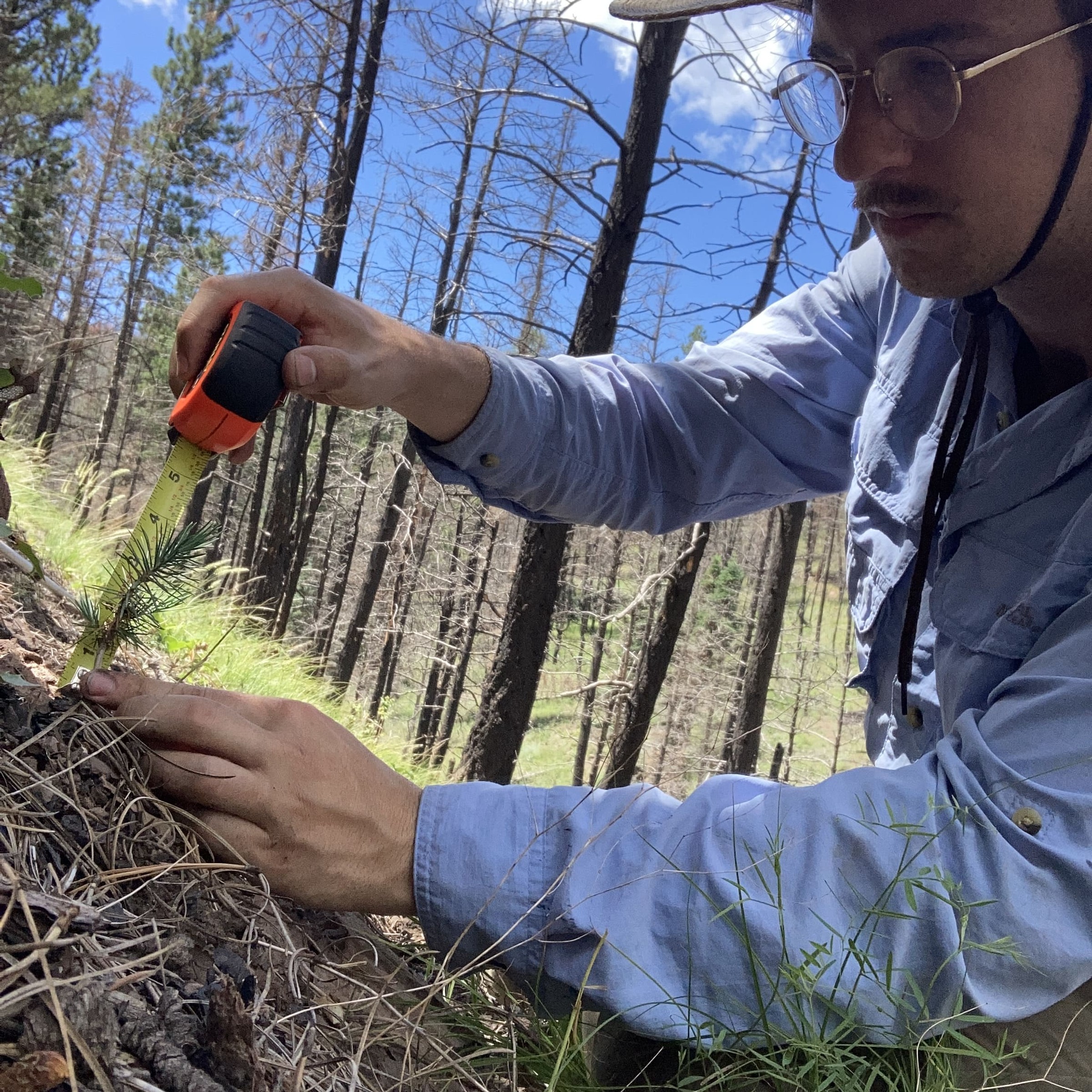
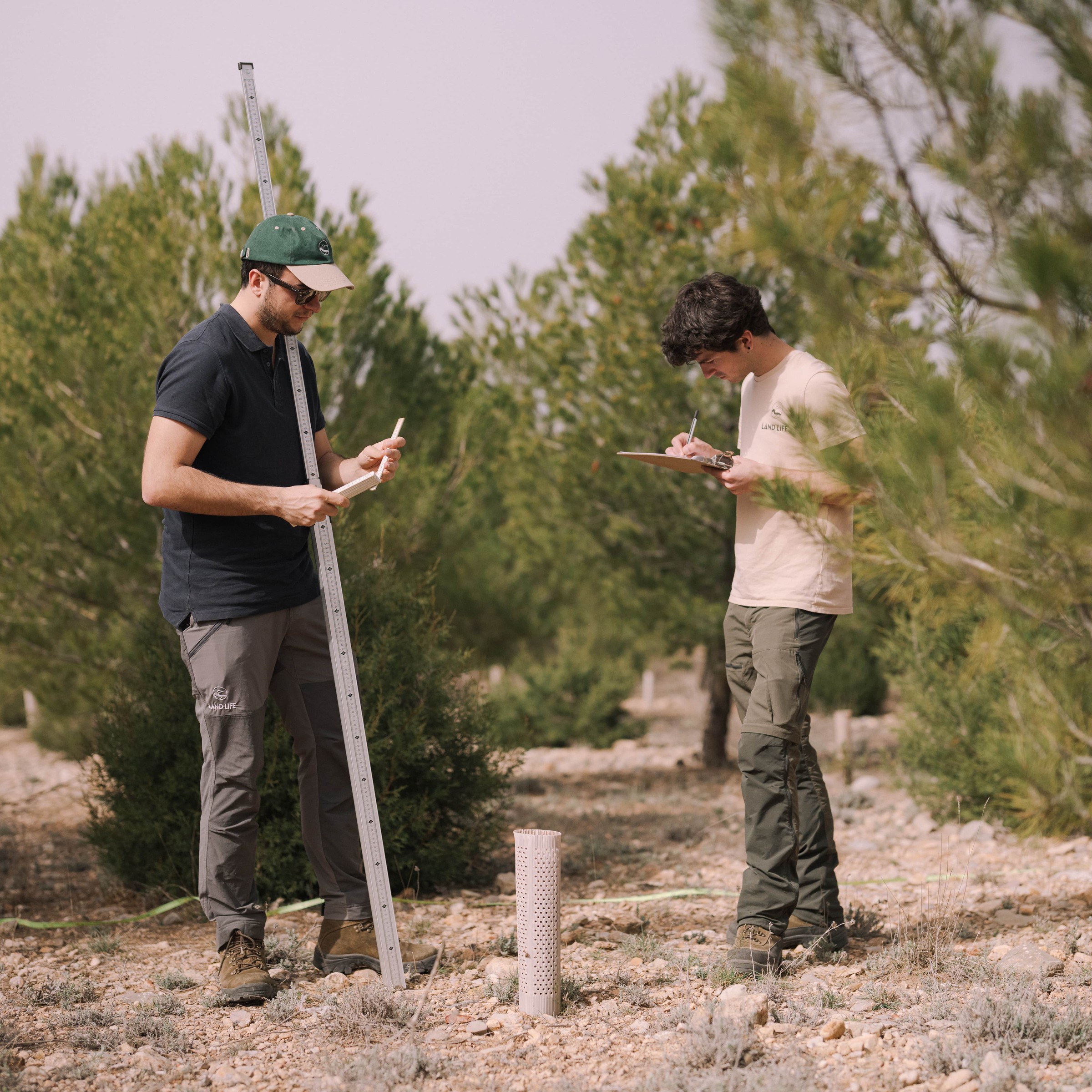
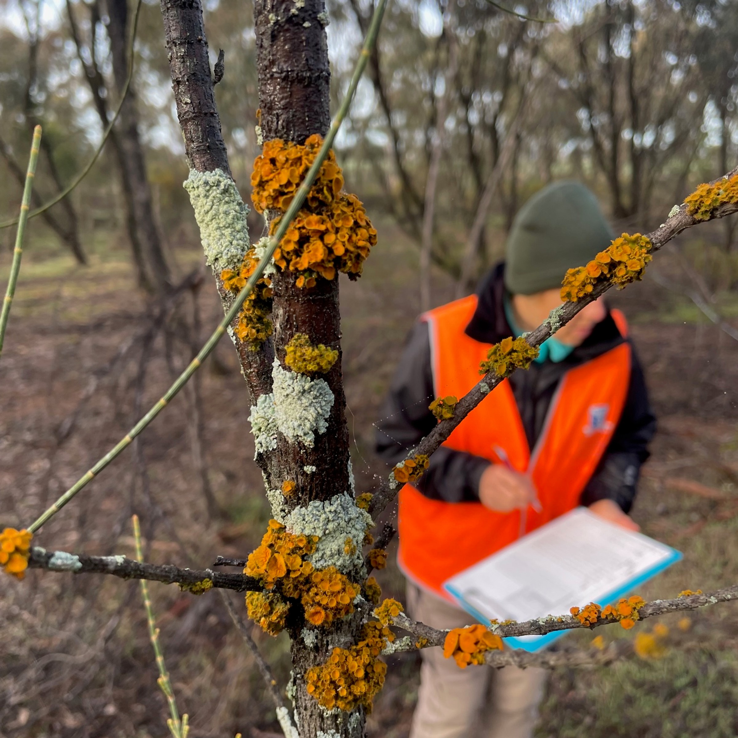
Remote sensing goes hand in hand with physical monitoring
Reporting and transparency: How remote sensing feeds into decision-making.
Remote sensing insights don’t stay in dashboards; they inform our Carbon Capture Projection Report (CCPR), one of the most essential deliverables both internally and for clients and partners. This report combines data from remote sensing, FastTrack carbon modelling, and site-specific in-field inputs to provide a clear, evidence-based view of project viability and expected carbon outcomes. By integrating these elements, our CCPR ensures that decisions are documented, consistent, and verifiable.
This reporting process strengthens transparency and also helps meet the rigorous requirements of third-party standards such as Verra.
What does this mean for integrity and impact?
Remote sensing strengthens our claim to high-integrity reforestation by:
This isn’t just good science, it’s good governance. It builds trust, attracts investment, and ensures that measurable, auditable results back every hectare restored.
Looking ahead: The future of remote sensing and AI at Land Life
We’re continuing to enhance our systems, adding more layers of data and exploring advanced analytics to improve accuracy and foresight, ensuring our remote sensing capabilities become more powerful and predictive. Future developments may include additional soil and vegetation insights, climate projections, and AI models to speed up and improve the quality of project planning.
Integrity at the core of innovation
For Land Life, integrity is non-negotiable. Every system we build, from remote sensing to carbon modelling and monitoring, is designed to ensure restoration that delivers on its promises. Our goal is high-impact reforestation that genuinely restores ecosystems, boosts biodiversity, benefits local communities, and provides measurable results for clients while contributing to global climate solutions.
That is why Land Life has invested heavily in developing its own advanced technological platforms, built over years of research and expertise. These tools underpin every stage of our carbon removal projects, from assessment and design to monitoring, ensuring transparency, accuracy, and accountability.
Our ambition is clear: make large-scale nature restoration and carbon removal projects predictable, transparent, resilient and effective. Because restoring the planet’s forests is too important to leave to guesswork.
Want to learn more about how Land Life uses technology to deliver high-quality, nature-based solutions? Get in touch or explore our innovation hub.
Interested in learning more about Land Life's science and tech-focused approach to nature restoration?
Start a conversation